
Flooded Basement in Guadalupe County, TX
- Flooded Basement Overview
- Common Flooded Basement Issues in Guadalupe County, Texas
- Flooded Basement Service Areas in Guadalupe County
- Flooded Basement Seasonal Patterns in Guadalupe County
- Housing Characteristics & Flooded Basement Considerations
- Environmental Conditions & Flooded Basement Implications
- Flood Documentation, Insurance, and Recovery Support in Guadalupe County
Flooded Basement Overview
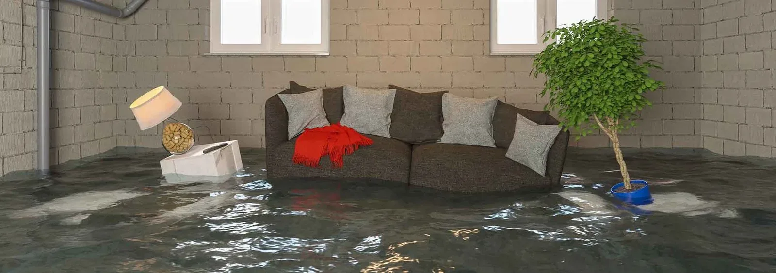
Standing water inside a home works fast. Within hours, drywall wicks moisture upward, subfloors swell, and microbial growth begins in dark, humid spaces below grade.
Flooded basement response in Guadalupe County covers full-service water removal, structural drying, and restoration for below-grade rooms, cellars, storm shelters, crawl spaces, and partially submerged lower levels. Because most Texas homes sit on slabs, the below-grade spaces that do exist here - storm cellars, walk-out lower levels on sloped lots, sunken garages, and mechanical pits - trap water with nowhere to drain.
Why fast action matters for local property owners:
- Contamination risk - floodwater from the Guadalupe River basin, creeks, and storm drains often carries sewage, fuel, fertilizer, and silt.
- Structural protection - prolonged saturation weakens framing, subfloor adhesives, and finished wall assemblies.
- Mold prevention - Central Texas humidity accelerates growth in enclosed, unventilated spaces.
- Electrical and mechanical safety - water heaters, HVAC air handlers, and panels are frequently located in lower levels.
- Documentation for claims - moisture readings, photos, and drying logs support insurance and FEMA-related paperwork.
The goal is simple: extract the water, dry the structure to measurable standards, remove what cannot be salvaged, and return the space to a safe, dry condition.
Common Flooded Basement Issues in Guadalupe County, Texas
Guadalupe County sits where Hill Country runoff meets flatter blackland terrain. Water that falls upstream near Kerrville and Comfort travels downstream through Seguin and New Braunfels corridors, and heavy local rain adds to it.
Frequent causes of below-grade flooding here:
- Riverine overflow - the Guadalupe and San Marcos Rivers, plus Cibolo Creek, rise out of banks after upstream rainfall.
- Flash flooding - rainfall funnels down slopes and through narrow channels with remarkable speed, reaching low ground before residents notice.
- Sheet flow on low-lying lots - FEMA defines floodplain broadly, including flat ground that simply fills when it rains.
- Failed sump pumps - power loss during thunderstorms disables the one system keeping a lower level dry.
- Foundation seepage - expansive clay soils shrink in drought, crack, then channel water directly to below-grade walls when rain returns.
- Sewer and drain backups - overloaded municipal lines push water back through floor drains.
- Broken supply lines and water heaters - non-weather flooding that fills a cellar just as quickly.
Warning signs worth acting on before the next storm:
- Efflorescence - white mineral staining - on lower foundation walls
- Musty odor that intensifies after rainfall
- Rust rings at the base of water heaters, shelving, or appliance legs
- Hairline cracks widening at cold joints or floor-to-wall seams
- Standing water near exterior stairwells or window wells
- Sump pump that cycles constantly or runs silent
Flooded Basement Service Areas in Guadalupe County
Coverage extends across the county's cities, unincorporated areas, and rural river properties.
- Seguin - historic downtown, riverfront neighborhoods along the Guadalupe, Starcke Park area, and Navarro communities
- Schertz - Northcliffe, Ashley Place, Savannah Square, and Cibolo Creek-adjacent subdivisions
- Cibolo - Bentwood Ranch, Falcon Ridge, Steele Creek, and Turning Stone
- New Braunfels - the Guadalupe County portion, including neighborhoods near the river corridor
- Marion, Santa Clara, and Staples - small-town and acreage properties
- Kingsbury, McQueeney, and Lake Dunlap - waterfront and lake-adjacent homes with lower levels and boathouse storage
- Geronimo, Zuehl, and Zorn - rural tracts along FM roads and creek bottoms
Crews stage equipment regionally so response teams can reach both I-10 and I-35 corridors, plus county roads that may be temporarily impassable after high water recedes.
Flooded Basement Seasonal Patterns in Guadalupe County
Flooding is one of the most common hazards nationwide, and Guadalupe County experiences it in distinct seasonal waves.
- Spring (March - May) - the first major convective storm season. Slow-moving thunderstorm clusters drop several inches in hours, saturating soil and overwhelming drainage.
- Early summer (June - July) - training storms and tropical moisture surges. The July 2025 Hill Country event showed how quickly upstream rainfall reaches downstream communities.
- Late summer (August - September) - drought-cracked clay soil sheds water rather than absorbing it, so sudden downpours run straight to low points and foundations.
- Fall (September - November) - Gulf tropical systems and their remnants deliver multi-day rainfall totals that raise the Guadalupe River for extended periods.
- Winter (December - February) - fewer storms, but hard freezes cause pipe ruptures that flood cellars and mechanical rooms while homes sit unoccupied.
Preparation tasks by season:
- Test sump pumps and battery backups before spring
- Clear gutters, downspout extensions, and window well drains ahead of summer
- Insulate exposed supply lines before the first freeze
- Photograph stored belongings annually for claim documentation
Housing Characteristics & Flooded Basement Considerations
Guadalupe County housing spans century-old Seguin homes to subdivisions built in the last decade. Each construction era responds to flooding differently.
- Historic homes (pre-1940) - pier-and-beam foundations with dirt or rubble-stone cellars. These absorb moisture readily and need extended drying with controlled dehumidification.
- Mid-century ranch homes - concrete slabs with occasional storm cellars or sunken utility rooms; water collects at the lowest floor drain and lingers.
- 1990s - 2000s suburban builds - engineered slabs, some with walk-out lower levels on sloped Cibolo and Schertz lots.
- New construction (2010 - present) - tighter building envelopes trap humidity, so mechanical drying is required rather than open-window ventilation.
- Manufactured and rural homes - skirted crawl spaces that hold standing water against floor joists and insulation.
Restoration work follows recognized industry standards for water damage restoration, including moisture mapping and documented drying goals.
The typical process:
- Safety assessment - electrical shutoff, contamination category classification, and structural check
- Bulk water extraction using truck-mounted and submersible equipment
- Controlled demolition of unsalvageable drywall, insulation, carpet pad, and laminate
- Cleaning and antimicrobial application to framing, masonry, and concrete
- Placement of air movers and dehumidifiers sized to the space volume
- Daily moisture readings until building materials reach dry standard
- Reconstruction with flood-resistant materials where appropriate
Older masonry and stone foundations often need longer drying cycles than modern concrete - rushing that step invites mold behind finished surfaces.
Environmental Conditions & Flooded Basement Implications
Local geography shapes how water behaves once it reaches a property. Researchers at Texas State University have spent years mapping the Upper Guadalupe River, documenting how rainfall funnels down slopes and through narrow canyons at high speed before spreading across downstream floodplains.
Conditions that influence below-grade flooding across the county:
- Blackland Prairie clay - high shrink-swell soil that cracks during drought and heaves when wet, stressing foundation walls and creating seepage paths.
- Limestone and caliche edges - western portions of the county drain quickly to the surface rather than absorbing rainfall.
- High water tables near McQueeney, Lake Dunlap, and river bends - hydrostatic pressure pushes moisture through concrete even without visible flooding.
- Humid subtropical climate - warm, moisture-heavy air slows evaporation and supports mold growth year-round.
- Floodway proximity - land reserved to carry base flood discharge functions as active waterway during events, and adjacent structures take the brunt.
- Legacy construction - some homes predate updated floodplain mapping and sit in the path of water that will rise again.
Practical implications for restoration work:
- Silt and clay residue must be removed before drying begins, or it seals moisture beneath the surface
- Floodwater is generally treated as contaminated, requiring disinfection rather than simple extraction
- Dehumidification must run long enough to pull moisture from concrete and masonry, not just air
- Exterior grading and drainage corrections reduce repeat events
Flood Documentation, Insurance, and Recovery Support in Guadalupe County
After the water leaves, paperwork often becomes the harder problem. Standard homeowners policies typically exclude rising floodwater, while separate flood coverage handles it - and the distinction matters for how a claim is filed.
What thorough documentation should include:
- Time-stamped photos and video of standing water before extraction begins
- High-water marks measured on walls, stairs, and mechanical equipment
- Moisture meter and thermal imaging readings recorded daily
- Inventory of damaged contents with descriptions and condition notes
- Written scope of removed materials, drying equipment placement, and duration
- Category classification of the water source
Steps to take once conditions are safe:
- Confirm power to the affected area is off before entering standing water.
- Photograph everything from multiple angles before moving items.
- Contact your insurance carrier and open a claim file.
- Move salvageable contents to a dry, ventilated area.
- Bring in restoration crews to begin extraction and structural drying.
- Keep all receipts for temporary lodging, equipment, and emergency repairs.
Federal and state resources add another layer. NOAA's National Geodetic Survey collected aerial damage assessment imagery along the Guadalupe River following the July 2025 flooding, coordinating with FEMA and state partners. That imagery, along with FEMA floodplain mapping, can support claim documentation and inform decisions about elevation, drainage improvements, and flood-resistant rebuilding.
Guadalupe County residents rebuilding after high water should also review current floodplain designations before reconstruction - what was mapped decades ago may not reflect present risk.